
Service / 05
Mapping & visual 3D
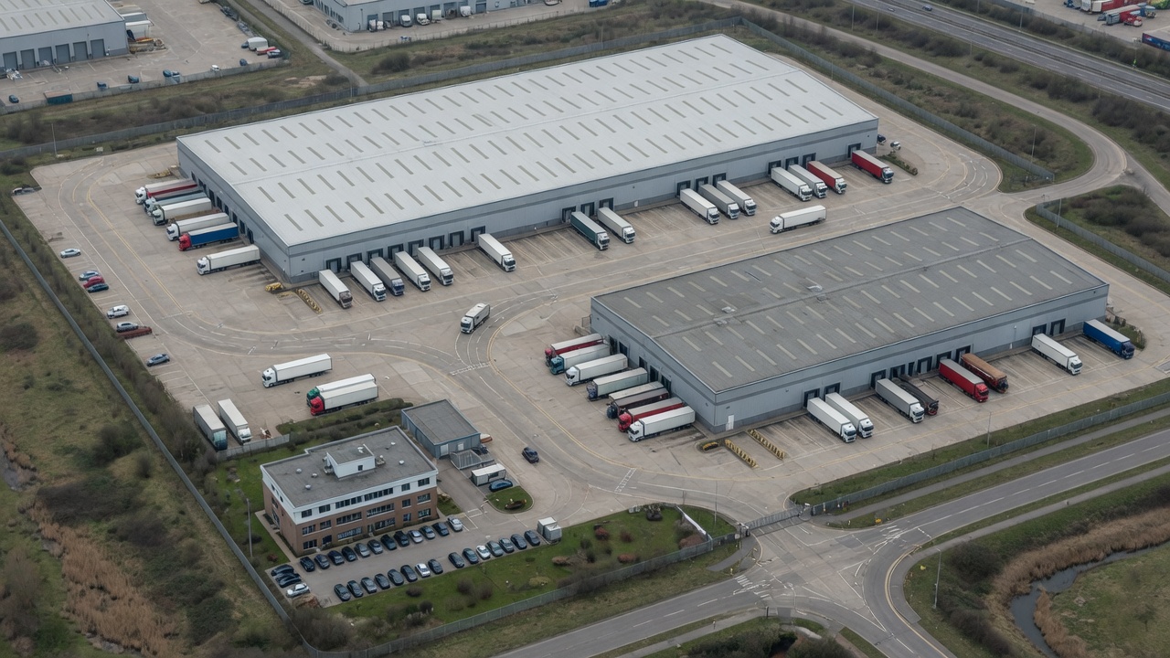
A navigable visual record of the site or agreed area, useful for context, documentation and later comparison.
The problem
Why people ask for this.
Plans, photos and memory often disagree about what is actually on a roof or a site. A current visual record is sometimes the missing piece — provided it is not sold as a measured survey.
This is visual documentation. It is not survey-grade, centimetre-accurate, a legal boundary or a RICS measured survey.
What we capture
- Site overview imagery
- Visual orthomosaic where suitable
- Visual 3D reconstruction where suitable
What you receive
- A visual map or model of the agreed area
- Source stills
- A record that can be repeated later
Useful for
- Project teams
- Asset managers
- Surveyors needing context, not a measured survey
Visual orthomosaics and documentation models are useful for understanding a site. They are not a measured survey, a legal boundary, centimetre-accurate mapping, or a RICS product. If a project needs that class of survey, it should be scoped with the right equipment and the right professional.
Next step
Tell us what needs inspecting.
Tell us what you need inspected or documented and we will set out the appropriate approach.